Route planning, location scouting, and timing optimization for panoramic viewpoints and natural landmarks
Landscape Photography Trip Planning for US Destinations
Trip planning services focus on identifying accessible photography locations along scenic highways and near natural landmarks. Each itinerary includes specific coordinates, recommended arrival times, and notes on seasonal light conditions. Plans are built around publicly accessible viewpoints documented through on-site visits between 2019 and 2024.
Photography Location Planning System
Database of 340+ scenic locations across 12 western US states with light condition tracking
Planning methodology combines geographic data with light condition calculations. Routes are structured around optimal shooting windows and driving distances.
Location Database
Catalog of panoramic viewpoints, natural landmarks, and roadside photography stops with GPS coordinates
Light Timing Analysis
Sunrise, sunset, and blue hour calculations for each destination with seasonal variations
Route Optimization
Scenic highway mapping connecting photography stops with driving time estimates and fuel calculations
Start Planning Your US Photography Trip Now
Plan Your Perfect Photography Trip
Submit your details below, and a landscape photography specialist will contact you within 24 hours to review your goals and provide actionable guidance for your trip. We believe in setting realistic expectations, so we’ll discuss the best times to visit specific natural landmarks and scenic highways to ensure optimal lighting. You will receive a clear, practical plan for capturing panoramic viewpoints, with complete transparency and no obligation to commit further.
About the Project
Background and Approach
phenakite.info provides planning resources for landscape photography trips across the United States. The focus is on identifying panoramic viewpoints, natural landmarks, and scenic highways with specific attention to optimal lighting conditions and access routes. Resources are developed based on field research and location scouting conducted between 2019 and 2024.
Panoramic Viewpoint Planning
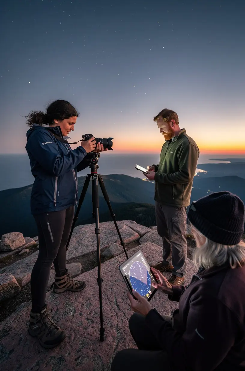
Expert route planning to iconic American vistas, ensuring you arrive at perfect times for optimal light and minimal crowds.
Natural Landmark Navigation
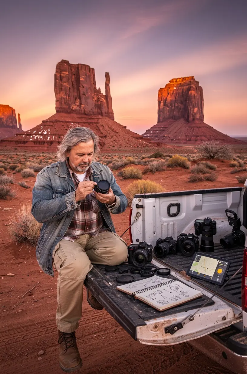
Detailed guidance to America's most photogenic landmarks, with notes on lighting windows, compositions, and access paths.
Scenic Highway Routing
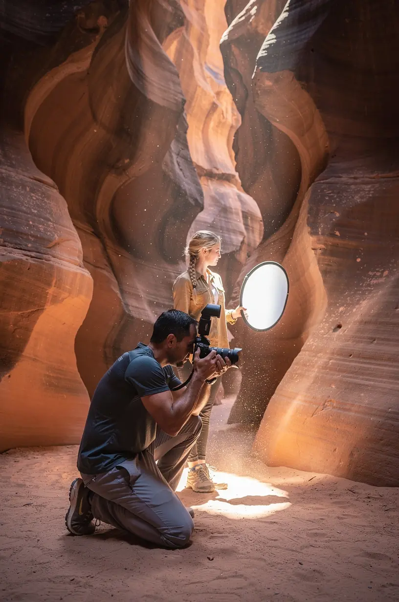
Carefully mapped journeys along America's most beautiful scenic byways, maximizing photographic opportunities at every stop along the way.
Available Services
Planning Resources and Guides
Services include detailed location guides, route planning assistance, and seasonal timing recommendations for photography destinations across the American West, Southwest, and Pacific Coast. Each guide covers access points, parking availability, trail conditions, and estimated time requirements for reaching specific viewpoints.
Custom Route Planning
Point-to-point route planning along scenic byways with designated photography stops at 15-30 mile intervals. Routes account for driving times, parking availability, and daylight hours based on the selected travel dates.
Location Scouting Reports
Pre-visit reports for specific landmarks including optimal shooting positions, foreground elements, and access requirements. Reports are compiled from site visits and include photographs of the location from multiple angles.
Golden Hour & Blue Hour Timing
Location-specific timing schedules calculated for exact coordinates using astronomical data. Schedules account for terrain obstruction and recommend arrival 45-60 minutes before optimal light begins.
Guided Photography Workshops
3-7 day in-person workshops at selected locations led by photographers who work regularly at landscape locations. Group size limited to 6 participants per instructor to allow individual attention at shooting locations.
National Park Itineraries
Pre-built itineraries for 12 major US national parks including Grand Canyon, Zion, Yellowstone, and Yosemite. Each itinerary covers 3-5 days with 4-6 photography locations per day.
Weather & Conditions Tracking
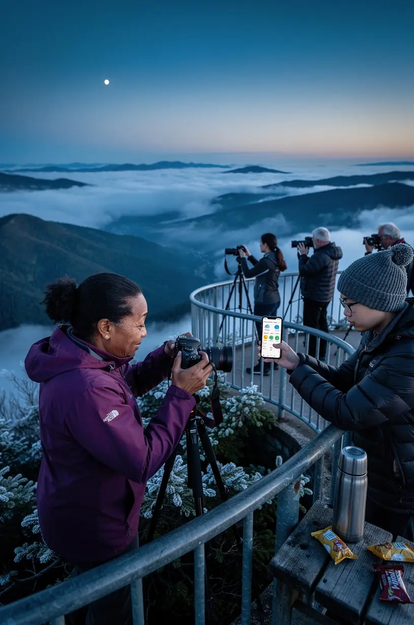
Pre-trip weather monitoring starting 10 days before departure with updates every 48 hours. Reports include cloud cover percentages, precipitation probability, and visibility forecasts for each planned location.
Contact Information
Questions and Inquiries
Questions about specific locations, route planning, or guide content can be sent using the form below. Responses are typically provided within 2-3 business days. For trip planning inquiries, email is the preferred contact method.
+19285550102
2 South Beaver Street, Suite 160, Flagstaff, AZ 86001